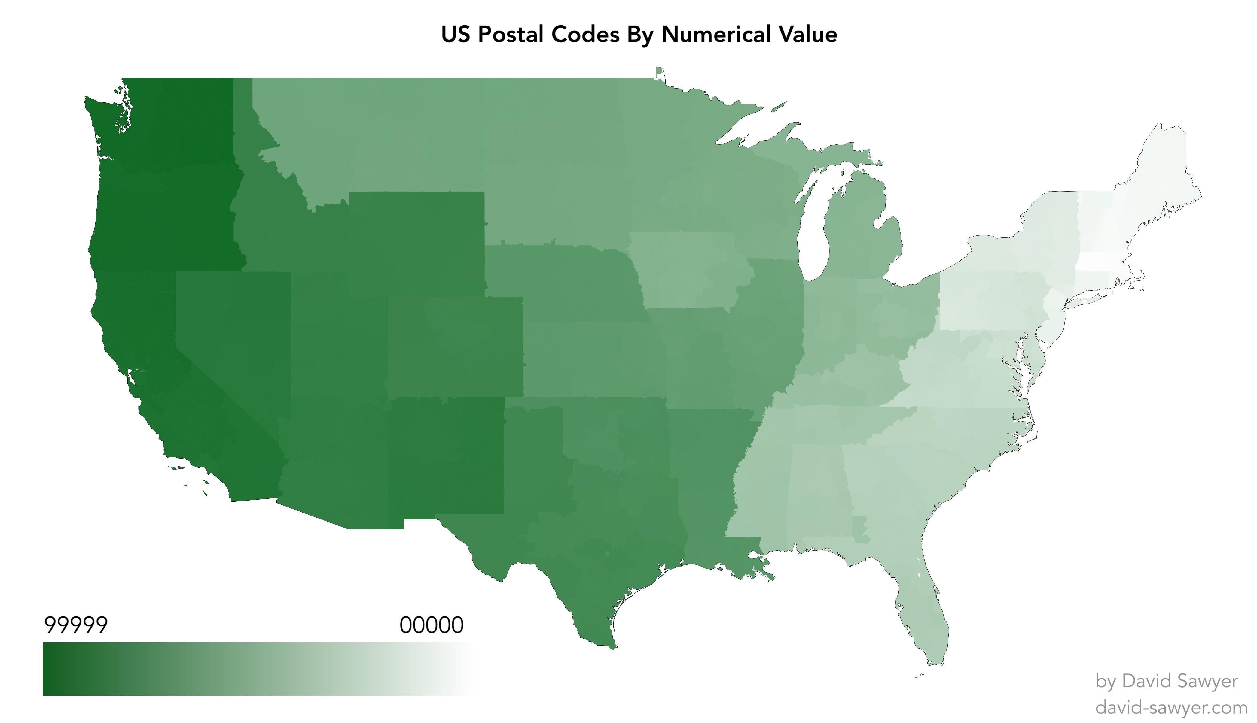
Data Visualization: US Postal Codes By Numerical Value
This was my first foray into dataviz using a map. I used Tableau to generate this, and it was pretty magical to be able to drop a bunch of integer values into the tool and watch it draw all the postal codes. I definitely want to keep making maps of things.

I was a bit surprised how orderly the Postal Service decided to be about the allocation of all these postal code areas. A couple of oddities that jump out to me, though, are that Iowa's numbering seems out of place relative to the surrounding states, and the southwest corner of Georgia seems to be strongly coupled to Alabama. Another thing I learned while working on this is that it's pretty common for postal codes to cross state borders. These areas were almost solely created for USPS efficiency, so it makes sense that they don't care about state borders much, given that it's a federal agency.